The idea that spaceborne instruments on polar and geostationary satellites can help in wildfire detection and monitoring is well consolidated in the remote sensing community (see for ex. Y. Kaufman, Justice C., Flynn, L. Kendall J., Prins. E, Giglio L., Ward D.E.,Menzel P. and A. Setzer, “Potential Global Fire Monitoring from EOS – MODIS”, J.Geoph. Res, Atmosphere 103 (1998) 3221532238, and E. Cisbani et al., “Early fire detection system based on multitemporal images of geostationary and polar satellites”, IGARSS 2002, Toronto, July 2002).
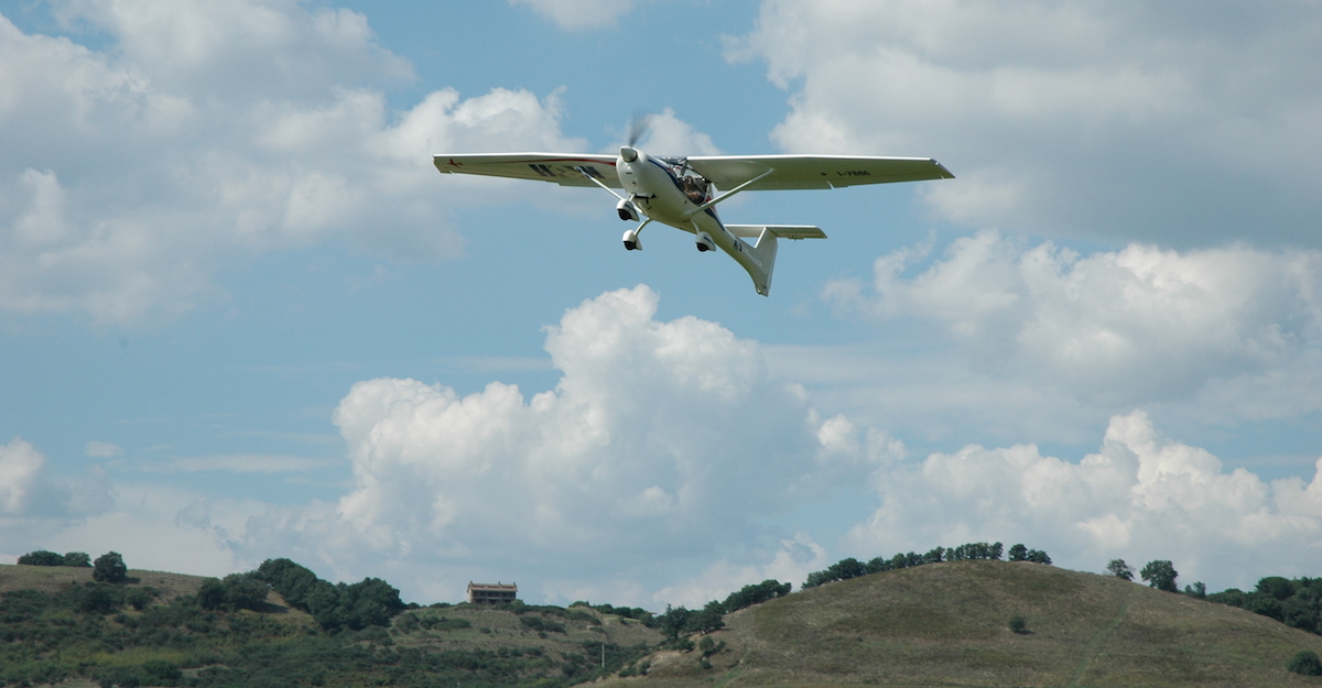
Observations from satellites currently in orbit are made with a ground resolution pixel size that exceeds the majority of wildfires. Therefore, the objective of the campaign was to take highresolution images of fires from aircraft to act as ‘ground truth’ data in order to validate present models used for the assessment of products obtained from satellite observations of wildfires.
The campaign scope was to validate and assess the results obtainable through the most relevant satellite observation techniques, against the high resolution fire mapping information derived from a dedicated hyper spectral airborne campaign.
Obtained results of the campaign have been:
- Realization of an hyperspectral data set containing data from fires in summer 2006 in Toscana an Lazio.
- Data set of ground measurement of vegetation
- validation of the hypothesis of using K line emission to trace firing regions
- develop of functions for fitting and studing fire emission.
- Comparison between fraction obtained with HYPER spectral observation (using K line method) and satellites
- derived (AVHRR) studies based on Dozier (Dozier et al 1981) method.
- Discussion on the minimal dimension of fires detectable for different payloads
Cliente: ESA – Agenzia Spaziale Europea
Ruolo Kell: Unico Contraente


